Anak
Krakatau volcano collapse, tsunami generation explained by URI modeling
 A University of Rhode Island
professor and his team of researchers, some based at the British Geological
Survey in the United Kingdom, have shown that modeling can accurately forecast
tsunamis from volcanic events and lead to early-warning systems that could save
lives and prevent catastrophic property damage.
A University of Rhode Island
professor and his team of researchers, some based at the British Geological
Survey in the United Kingdom, have shown that modeling can accurately forecast
tsunamis from volcanic events and lead to early-warning systems that could save
lives and prevent catastrophic property damage.
Stephan Grilli, distinguished URI
professor and chair of the Department of Ocean Engineering, and his team of 10
researchers write in the August edition of Nature Scientific Reports that
their study of the Dec. 22, 2018, collapse of the Anak Krakatau volcano and
subsequent tsunami validates the models they have developed to predict
tsunamis.
Steven Carey, URI professor emeritus of oceanography, and Annette R. Grilli, associate research professor of ocean engineering, are part of the URI research team.
Steven Carey, URI professor emeritus of oceanography, and Annette R. Grilli, associate research professor of ocean engineering, are part of the URI research team.
Grilli and his colleagues are
working to develop models that could lead to early-warning systems that could
benefit the East Coast of the United States and other coastal regions. In fact,
Grilli is now using the models to assess damage that could result along the
U.S. East Coast if a tsunami were to originate from the Canary Islands.
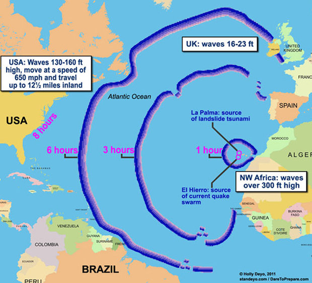
Located off northwestern Africa, the Spanish archipelago is home to several active volcanoes, including Cumbre Vieja, which scientists believe could be the site of a major volcanic collapse and resulting tsunami.
Located off northwestern Africa, the Spanish archipelago is home to several active volcanoes, including Cumbre Vieja, which scientists believe could be the site of a major volcanic collapse and resulting tsunami.
The lessons of Anak Krakatau, which is located in Indonesia, and its subsequent tsunami, which killed at least 437 people, are critical for future tsunami monitoring and early-warning systems. The Anak Krakatau tsunami resulted in the highest death toll from a volcanically induced tsunami since the eruption of Krakatau in 1883 and the sector collapse of Ritter Island in 1888.
As members of Grilli’s team surveyed
the area in January and February 2019, and again this August, they were among
the first in more than 100 years to study a volcanically generated tsunami. The
tsunami was caused when two-thirds of Anak Krakatau, which had been erupting
since June 2018, slid into the ocean.
In their research paper, the scientists
report that their models successfully reproduced observed tsunami
characteristics from post-event Anak Krakatau field survey results, tide gauge
records, and eyewitness reports, suggesting that the scientists’ landslide
volume range and assumed collapse scenario are accurate.
“Our successful simulations
demonstrate that current numerical models can accurately forecast tsunami
hazards from these events,” they write. “In cases such as Anak Krakatau’s, the
absence of precursory warning signals, together with the short travel time
following tsunami initiation presents a major challenge for mitigating tsunami
coastal impact.”
“A large volcanic collapse can cause
a large tsunami, and we know there is a risk of collapse at the Cumbre Vieja
volcano in the Canary Islands, as collapses occurred in the distant past,”
Grilli said.
He added that there are 29,000 miles
of exposed coastline along 14 eastern U.S. states that are at risk from a
tsunami, particularly from the Canary Islands. There is currently no early-warning
system for non-seismic tsunamis for most of this region.
“If a 10,000-foot-tall piece of
Cumbre Vieja were to slide into the ocean, it would create a tsunami that would
cover all of Atlantic City,” Grilli said “but the chance of that happening is
fortunately very low.”
And Atlantic City is not the only
place on the East Coast where there is potential for major loss of life and
property as a result of tsunamis.
Under the auspice of the National Tsunami Hazard Mitigation Program (National Weather Service) Grilli is studying areas off Montauk, New York, and Cape Fear in North Carolina that show potential for underwater landslides and subsequent tsunami activity that would threaten the nearby coasts.
Under the auspice of the National Tsunami Hazard Mitigation Program (National Weather Service) Grilli is studying areas off Montauk, New York, and Cape Fear in North Carolina that show potential for underwater landslides and subsequent tsunami activity that would threaten the nearby coasts.
“We have three dozen maps that show
inundation zones,” Grilli said. “With technology, we are working to cut the
warning time down from several hours to 10 minutes.”